Western Europe Country Package

$995.00

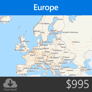
The Western Europe Country Package includes a street layer with travel-time information for routing and travel-time rings. It does not support address-level geocoding. Also included are administrative boundaries, railroads, and landmarks that include shops, restaurants, and retail stores. The data are from October 2019.

Includes data for: Andorra, Austria, Belgium, Denmark, Finland, France, Germany, Holy See, Iceland, Ireland, Italy, Liechtenstein, Luxembourg, Malta, Monaco, Netherlands, Norway, Portugal, San Marino, Spain, Sweden, Switzerland, and United Kingdom

Provided as a SINGLE USER LICENSE. Requires Maptitude. Please provide your software serial number in the space above when ordering.

Format

Caliper Compact Data Format (CDF) for use with the latest version of Maptitude

License

SINGLE USER LICENSE for use with a single copy of Maptitude

Note

For downloads, the install codes and instructions for downloading are emailed after the shipping confirmation email. Download orders received after 3pm are usually processed the same business day, but may be processed on the next business day, excluding US federal holidays.

Reviews

There are no reviews yet.

Be the first to review “Western Europe Country Package”